TROPICAL CYCLONES IN 2009

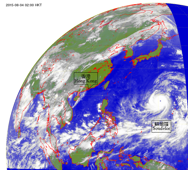
Figure 2.4 Infra-red satellite imagery at 2 a.m. on 26 November 2009 of Super Typhoon Nida (0922) at peak intensity. Nida, one of the most intense tropical cyclone in 2009, was centred over the western North Pacific about 370 km west of Guam with a maximum sustained winds of about 210m/h and a minimum sea-level pressure of about 910 hPa at that time.
The satellite imagery was originally captured by the Multi-functional Transport Satellite-1R (MTSAT-1R) of Japan Meteorological Agency (JMA).]